from 66 €
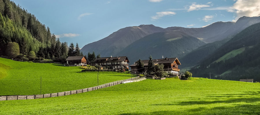
Garni Ganthaler
in the middle of fruit orchards | Algund nearby Meran

from 163 €
Viktoria Alpine Spa Resort
Wellnesshotel | Hafling near Meran

from 252 €
SOLVIE Calm Inspiring Getaway
Sporthotel | Pfalzen at Mt. Kronplatz

from 140 €
Hotel Sand
Hiking - biking hotel | Kastelbell-Tschars

from 255 €
Quellenhof Luxury Resort Passeier
Sport & wellness resort | St. Martin in Passeiertal

from 80 €
Hotel & Resort Schlosshof
Charme Hotel | Lana near Meran

from 100 €
Hotel Tirolerhof
Gourmet hotel | Welsberg-Taisten at Mt. Kronplatz

from 125 €
Hotel Waldhof
Vitalpina Hotel | Rablà near Meran

from 118 €
Hotel Saltauserhof
Wellness hotel | St. Martin in Passeier

from 70 €
Alpwellhotel Burggräfler
Wellness hotel | Tisens near Meran

from 89 €
Hotel Vilpianerhof
Active hotel | Terlan in Southern South Tyrol

from 66 €
Garni Ganthaler
in the middle of fruit orchards | Algund nearby Meran

from 65 €
Landhaus Fux
Residence | Schlanders in the Vinschgau

from 98 €
Granpanorama Hotel Sambergerhof
Panorama Hotel | Villanders in the Eisacktal

from 122 €
Majestic – Unique Spa Resort
Wellness hotel | Reischach at Mt. Kronplatz

from 93 €
Hotel Leitner
Pure relaxation | Mühlbach in Eisacktal

from 205 €
LANERHOF Relax & Active Retreat
Spa-Hotel | St. Lorenzen at Mt. Kronplatz

from 438 €
Naturhotel Waldheim
Active hotel | Altrei in Southern South Tyrol

from 80 €
Pension Sonnenhof
Familiar atmosphere | Meransen in the Eisacktal

from 205 €
WINKLER 5-Star Design Hotel
Design hotel | St. Lorenzen at Mt. Kronplatz

from 166 €
MIRABELL DOLOMITES HOTEL
Luxury . Ayurveda & SPA | Olang at Mt. Kronplatz
Randonnée Almerhorn
Difficulté:
Lourd
Parcours:
14,6 km
Montée:
1599 m
Descente:
1599 m
Durée:07:00 h
Point le plus bas:1643 m
Point le plus haut:2979 m
Meilleure période de l'année
Jan
Fév
mars
avr
Mai
Jun
Jul
Août
Sep
Oct
Nov
Déc
Brève description
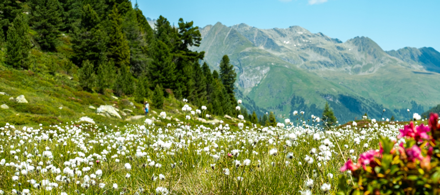
Randonnée exigeante au sommet près d'Anterselva.
Point de départ de la randonnée
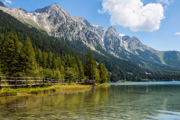
Lac d'Anterselva
Point d'arrivée de la randonnée
Almerhorn
Description de l'itinéraire
Depuis le centre de biathlon au lac d'Antholz (1 641 m), le sentier 39 mène d'abord à travers la forêt puis sur des éboulis jusqu'à la Riepenscharte (2 764 m). Il continue jusqu'au refuge Barmer Hütte (2.591 m). De là, aller à la Jägerscharte (2.875 m), en passant par quelques courts passages enneigés. De la brèche, on monte brièvement par l'arête ouest jusqu'au sommet de l'Almerhorn.
Retour : revenir à la Jägerscharte, puis prendre la direction du Staller Sattel et descendre vers le lac d'Antholzer See par le sentier n° 11.
Signes distinctifs du sentier
39, 11
Accès
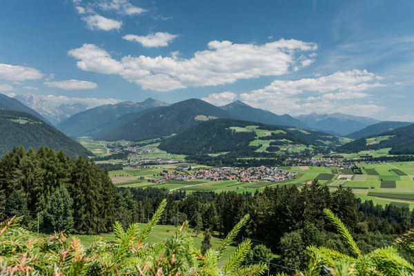
Traverser le Val Pusteria jusqu'à Valdaora. De là, rejoindre la vallée d'Antholzer et le lac d'Antholzer.
Conseil de l'auteur
Type de chemin
Longueur 14,6 km
Auteur
Rédaction suedtirol.com